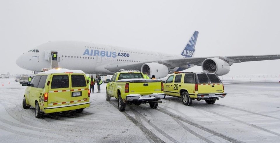
It’s not quite official, but it looks like it was, indeed, a record snowfall for Vancouver International Airport last night and today.
Meteorologists at Environment Canada are still doing the math, but they’re pretty confident that a record amount of snow fell at its YVR weather station in Richmond on Dec. 20.
Matt Loney, senior meteorologist at Environment Canada, told the Richmond News that around 20 centimetres likely fell from 10 p.m. on Monday, which is when the weather agency’s “climate day” begins and ends.
Loney said the previous record for Dec. 20 at YVR was 13 centimetres, back in 1984.
The snowstorm Monday night into Tuesday caused widespread chaos across the Metro Vancouver region, with public transit crawling and scores of flights cancelled at YVR.
All-time snow day at YVR was in 1996
But last night and today’s snowstorm fell way short of the all-time record for snowfall on any given day at the airport, which was 41 centimetres, on Dec. 29 back in 1996.
“We’ve had a fairly widespread 25 centimetres fall during this latest snow event,” added Loney.
“It’s remarkably consistent across (Vancouver) and YVR has been in the same ballpark.”
Loney said it will take a little more time to “untangle” last night’s snowfall amount, given the fact it started snowing quite heavily before the aforementioned “climate day” kick off at 10 p.m.
“A certain percentage will be attributed to Dec. 19 and some to Dec. 20. We think it will be a record for Dec. 20, but I can’t confirm that right now.
“The majority of this storm came Dec. 20 but we don’t have the exact breakdown yet.”
More snow, freezing rain forecast for YVR on Thursday/Friday
As for the forecast for Vancouver and YVR near the end of this week, Loney said it all depends how long the current Arctic air sticks around on Thursday into Friday.
And it could be anything from five to 20 centimetres and/or freezing rain.
“There’s lots of uncertainty for the transition from snow to rain as the warmer air returns from the Pacific,” he explained.
“Right now, we’re looking at anything from five to 20 centimetres range
The big thing here looks like the potential for - and moderate to high confidence of - freezing rain.
“After that, it looks like a rain on snow kind of thing. It just depends how long the Arctic air sticks around.”


